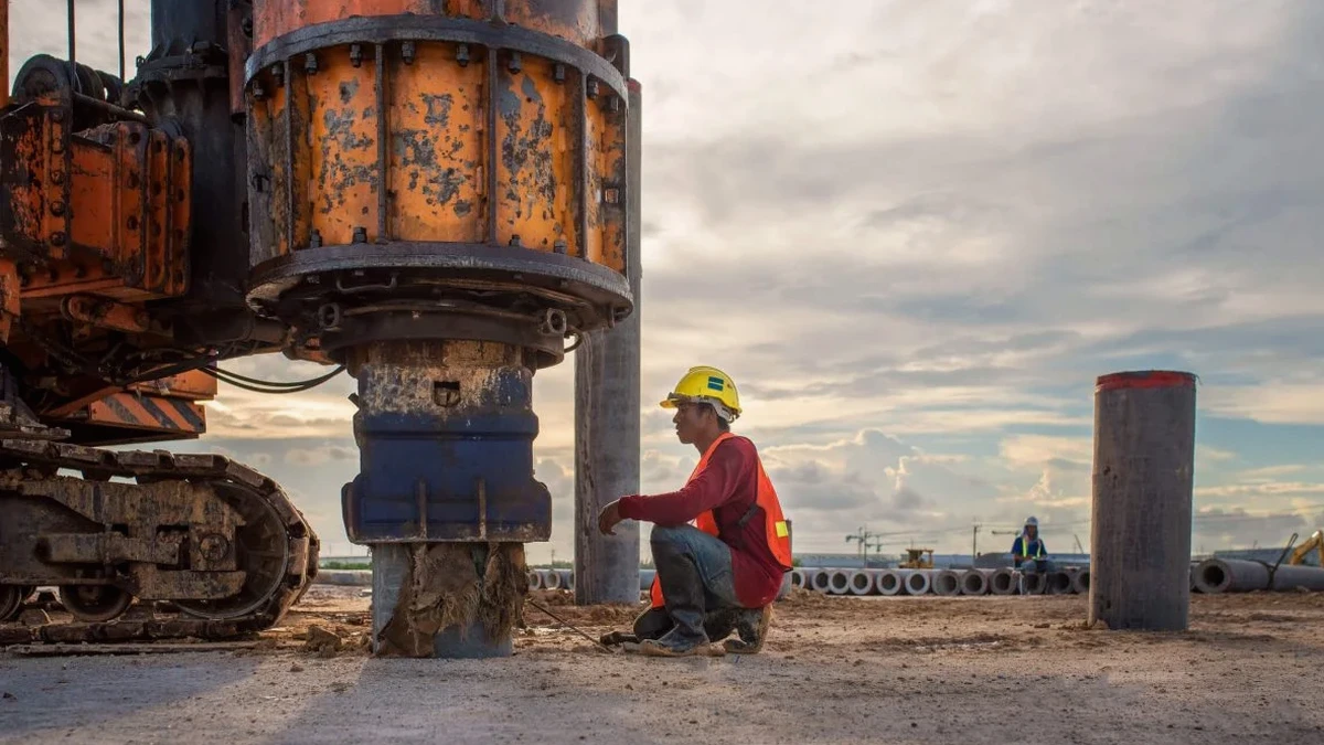
Arlington sits on the complex transition zone of the Western Gulf Coastal Plain, where the Eagle Ford Shale meets the Woodbine Formation. Around Lake Arlington and the Trinity River, the near-surface geology shifts within a few hundred feet—stiff clay one minute, loose alluvial sands the next. A VS30 value derived from a multi-channel analysis of surface waves (MASW) survey tells you exactly which ASCE 7 site class your project falls into, and that number drives the seismic design coefficients an engineer plugs into the structural model. When the City reviews plans for a new mixed-use building near AT&T Stadium or an industrial expansion off I-20, the geotechnical report better include a site-specific shear wave velocity profile, not a default assumption. Our team runs the MASW survey with a 24-channel seismograph and 4.5 Hz geophones, processing dispersion curves on-site to confirm data quality before we leave the property. For deeper bedrock mapping across the Johnson Creek floodplain, we often pair MASW with a seismic refraction line to resolve velocity inversions that surface-wave methods alone can miss.
A measured VS30 of 1,080 ft/s reclassified a Cooper Street project from Site Class D to C, cutting lateral force demands 18 percent before the first footing was poured.
Local geotechnical context
The contrast between north Arlington and the area south of I-20 tells the story. North Arlington, up toward River Legacy Park, sits on older terraces with dense, overconsolidated clay that often returns VS30 values in the 1,200 to 1,500 ft/s range—Site Class C, sometimes even B if the shale is shallow. South Arlington, particularly around the Lake Arlington basin and the tributary creeks feeding into Village Creek, has thicker alluvial deposits, looser sands, and a water table that can sit just eight feet below grade in wet years. A subdivision builder who assumes Site Class C across the entire tract without running a MASW survey is gambling that the soft spots do not line up with the slab-on-grade sections where seismic demand controls the reinforcement schedule. The IBC and the Arlington building department both allow site-specific VS30 measurements to override the default site class, but only if the data is collected and processed by qualified personnel using calibrated equipment. Skipping the survey and defaulting to Site Class D adds cost to the structure—sometimes six figures on a mid-rise—when a $2,200 MASW line could have proven Site Class C and reduced the seismic weight.
Quick answers
How much does a MASW VS30 survey cost for an Arlington commercial site?
For a single-line active-source MASW survey processed to a VS30 value and site class letter, the cost typically falls between US$1,480 and US$2,800 depending on the array length, surface conditions, and whether passive-source recording is needed to reach the full 100-foot depth. Projects requiring multiple lines or a combined refraction package are quoted after reviewing the site plan and any existing boring logs.
Does the City of Arlington accept a site-specific VS30 to override the default site class?
Yes. The City of Arlington follows the IBC, which explicitly permits site-specific shear wave velocity measurements to determine the seismic site class per ASCE 7 Chapter 20. The geotechnical report must include the raw dispersion curves, the processed VS profile, and the engineer's basis for the assigned site class.
How long does a MASW test take on an Arlington job site?
Field work for one MASW line with active-source hammer impacts takes roughly 90 minutes to two hours, including geophone layout, coupling checks, and multiple stacked recordings. If we add passive-source recording using microtremors or traffic noise to extend the depth of investigation, plan for an additional 30 to 45 minutes of ambient recording. The processed VS profile and VS30 value are typically ready the next business day.
What if the site has a high water table or soft fill?
MASW works well in saturated soils because shear wave velocity is controlled by the soil skeleton, not the pore fluid—unlike P-wave refraction, which gets blinded by a shallow water table. Soft fill and loose alluvial sands common along the Trinity River tributaries do require careful source coupling and sometimes a heavier impact mass to generate enough low-frequency energy for the 30-meter depth target, but the method handles these conditions reliably.